AI Wildfire Prediction in 2026: Faster Fire Warnings
AI Wildfire Prediction in 2026: How Models Help Communities Get Ahead
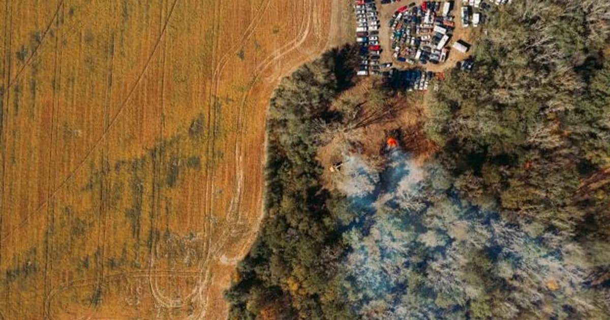
AI wildfire prediction has become a frontline tool for fire agencies heading into the 2026 fire season, as satellite networks and machine learning models cut the gap between ignition and detection from hours down to minutes in many high-risk regions. With fire seasons starting earlier and burning hotter across the western US, southern Europe, and Australia, that gap matters enormously for how much area a fire consumes before crews arrive.
This isn't about predicting exactly where lightning will strike. It's about identifying which conditions and locations carry the highest ignition and spread risk, then catching the fires that do start before they grow beyond initial-attack containment.
How AI Detection Actually Works
Modern wildfire detection systems combine several AI-processed data streams rather than relying on any single source:
- Satellite thermal imaging: Geostationary and low-orbit satellites scan for thermal anomalies consistent with fire ignition, with AI models filtering out false positives from sun glint, industrial heat sources, and agricultural burning
- Ground-based camera networks: AI vision systems monitor fixed camera feeds across fire-prone terrain, trained to recognize smoke plumes distinct from fog, dust, and clouds
- Crowdsourced and sensor data: Some networks incorporate smoke sensor readings and verified public reports, with AI models cross-referencing multiple signals before issuing alerts
The combination matters because each method alone produces too many false alarms or misses too many real starts. Fusing them with machine learning models that weigh signal reliability has meaningfully cut both false positive rates and detection time in deployed systems.
Predicting Risk Before Ignition
Beyond detecting fires that have already started, AI models are increasingly used for pre-season and day-of risk forecasting. These models ingest fuel moisture data, vegetation density mapping, historical fire patterns, wind forecasts, and drought indices to produce risk scores for specific areas, often updated daily during peak fire season.
Fire agencies use these risk scores to:
- Pre-position crews and equipment in the highest-risk zones before conditions peak
- Issue red flag warnings and target public messaging to specific communities
- Prioritize fuel reduction and prescribed burn programs in the areas modeling shows as highest long-term risk
NOAA and NASA jointly maintain satellite fire detection data feeds that many of these models rely on, with public access available through NASA's FIRMS fire information system.
Modeling Fire Spread in Real Time
Once a fire ignites, a separate category of AI models takes over: spread prediction. These models combine real-time wind data, terrain, fuel type, and fire behavior observed from aircraft and satellite to forecast how a fire's perimeter will move over the next hours, helping incident commanders decide where to position crews, where to evacuate, and where containment lines are likely to hold.
These spread models have improved significantly as training data has accumulated from recent fire seasons, but they remain probabilistic tools, not guarantees — sudden wind shifts and spot fires from embers still produce behavior that's difficult for any model to fully anticipate. Incident commanders use AI predictions as one input alongside direct observation and fire behavior expertise, not as a replacement for either.
Where This Connects to Climate and Emergency Response
Wildfire prediction sits at the intersection of two broader AI applications covered elsewhere: climate monitoring and emergency response coordination. For more on how AI is being used across environmental monitoring generally, see AI in Environmental Monitoring 2026: Protecting Our Planet, and for how AI coordinates broader emergency response beyond wildfire specifically, see AI in Emergency Response 2026: How AI Is Saving Lives Faster.
Limitations and Open Challenges
AI wildfire systems still face real constraints. Camera and satellite coverage gaps exist in remote terrain, particularly in regions without the infrastructure investment that wealthier fire-prone states have made. Smoke from existing fires can obscure detection of new ignitions nearby. And models trained on historical fire behavior face a moving target as climate change shifts the baseline conditions — droughts deeper, fuel loads denser, and fire seasons longer than the historical record these models were trained on.
There's also a coordination challenge: detection and prediction tools are only as useful as the response infrastructure that acts on them, and under-resourced fire agencies in high-risk but lower-budget regions often can't fully capitalize on AI alerts without matching investment in crews and equipment.
How Insurers Are Using the Same Data
Property insurers have started incorporating AI wildfire risk models into underwriting decisions, using the same fuel moisture, vegetation density, and historical fire pattern data that fire agencies use for detection and response planning. This has produced a mixed reaction from homeowners in fire-prone areas — more granular risk modeling has, in some cases, led insurers to non-renew policies for properties that risk models flag as high-risk, even when those properties haven't experienced a fire loss directly.
State insurance regulators in several fire-prone states have pushed back on opaque AI-driven non-renewal decisions, requiring insurers to disclose the specific risk factors driving a policy decision rather than citing a model score without explanation. This regulatory tension sits alongside the detection and response improvements as one of the more consequential, if less discussed, ways AI wildfire modeling is affecting communities directly.
Cross-Border and Multi-Agency Coordination
Wildfires don't respect jurisdictional boundaries, and one underappreciated benefit of AI-driven detection and modeling has been improved data sharing across the multiple agencies — local fire departments, state forestry services, federal land management agencies, and in border regions, international counterparts — that typically need to coordinate during a major fire event. Standardized AI risk scoring and shared detection feeds give these agencies a common operational picture faster than the patchwork of separate reporting systems that previously slowed coordination during fast-moving fire events.
This coordination layer has proven particularly valuable during multi-fire events, when agencies need to make rapid resource allocation decisions about which fires get priority access to limited aircraft, crews, and equipment — decisions that increasingly draw on AI spread predictions to estimate which fires pose the greatest near-term threat to populated areas.
What Communities Should Know
For residents in fire-prone areas, the practical value of AI wildfire prediction shows up mostly through faster official alerts and more targeted evacuation guidance rather than anything residents interact with directly. Signing up for local emergency alert systems remains the most direct way to benefit from these improvements, since the AI layer feeds into official notification systems rather than replacing them.
The Bottom Line
AI wildfire prediction in 2026 has shortened the critical window between ignition and response, giving fire agencies a meaningful edge in a fight that's getting structurally harder due to climate trends. The technology isn't a substitute for fuel management, infrastructure investment, and adequately staffed fire agencies — it's a force multiplier for the resources that exist.
Communities in fire-prone regions should look at whether their local and state fire agencies have adopted these detection and risk-modeling tools, and push for the funding that turns AI alerts into faster, better-resourced response on the ground.
Comments
Loading comments...